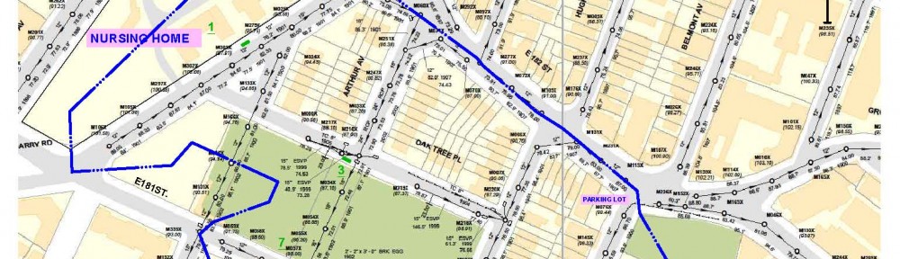
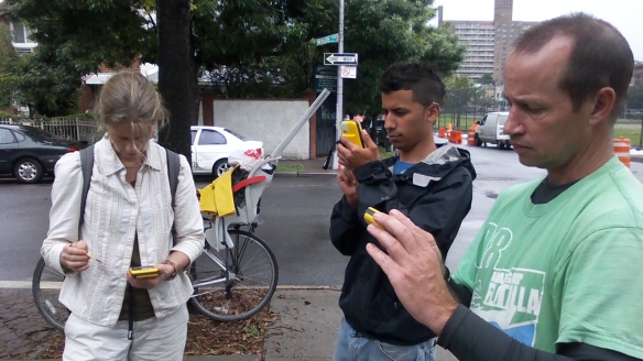
Rebecca Boger is teaching our Follow the Water Walks team (here Josue Garcia and Damian Griffin from the Bronx River Alliance) how to use GPS technology to create maps. We are starting at the top of the watershed in East Tremont, where the DEP is constructing a Greenstreet, and mapping other green spaces we find already existing from the top of the watershed to the river, in order to understand what infrastructures the community already has for slowing the flow of storm water (both effective and in need of improvement). Along the way, we are also collecting stories from residents and tracking our movement qualities.
